Introducing Buoyweather's new chart experience. Whether you are tracking a storm or planning a trip, utilize the high-res wind, swell, sea surface temperature, and bathymetry charts to help you visualize current and future ocean conditions.
These legacy chart pages will be phased out and removed in October 2022. Learn more here.
LOCATIONS
Africa
Asia
Australia
Caribbean
Europe
North America
Western States
Alaska
Hawaii
Washington
Oregon
Northern Cal
Central Cal
Southern Cal
Northeast States
Maine
New Hampshire
Rhode Island
Connecticut
Massachusetts
New York
New Jersey
Delaware
Maryland
Southeast States
Virginia
North Carolina
South Carolina
Georgia
Florida
Gulf States Gulf of Mexico Alabama Mississippi Louisiana Texas
Mediterranean
South America
My Favorites
Congo Marine Weather
program=Maps®ion=congo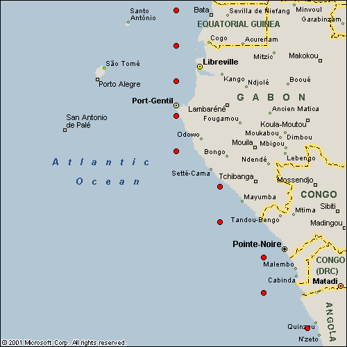
Historical Data & Consulting
Historical Weather Data - Access to 34+ years of historical ocean data from NOAA's WAVEWATCH III global wave model.Marine Weather Consulting - Custom reports and deep analysis of marine weather data for your project.
Sailing and Cruising Resources
Wind and Swell Charts - Accurately gauge the wind and swell conditions ahead of time.7-day Marine Forecasts - Latitude/longitude based reliable 7 day marine, wind and wave forecast.
High Resolution Wind Forecasts - Improve your ability to make decisions related to short-term wind.
Offshore Fishing Charts and Resources
SST Charts - FishTrack covers some of the most popular fishing regions in the world.Offshore Fishing Features - The latest offshore fishing and gamefishing news and features.
Offshore Fishing Videos - High quality fishing videos for the offshore fishing enthusiast.
Offshore Fishing Photos - Updated photos from offshore fisherman and charters across the globe.
Fishing How-To - Easy to read and follow offshore fishing tutorials and how-to's.
Surf and Coastal Marine Resources
Surf Cams and Reports - Live coastal HD surf cams, and accurate swell reports for most coastal locations.Surf Forecasts - Daily coastal wave, wind and surf forecasts for beaches around the world.
Surf Photos - Updated surf photos for every swell, most beaches and coastlines.
Surf Videos - High quality surf videos updated daily.
Surf News - Timely surfing news to stay informed.
Products